GPS Fleet Tracking Systems: How to Choose and Use Them
- Share
- Issue Time
- Jan 29,2026
Summary
Learn how GPS fleet tracking works, which features matter, how to introduce tracking fairly, and what to test before choosing a system.

Fleet Tracking Guide
A GPS fleet tracking system shows where vehicles are. It can turn trip data into useful reports. The right system can help with dispatch, route checks, vehicle use and driver coaching. It works best when the fleet sets clear goals and uses the data fairly.
The short answer
Start with one business problem. Decide whether you need location updates, geofence alerts, route history, driver events, video or vehicle data. Then test update speed, coverage, reports, privacy controls and support on the vehicles you actually run.

How does GPS fleet tracking work?
A device uses signals from space to find the vehicle. It sends the location through a mobile network. The fleet app can then show the vehicle on a map and save the trip.
Update speed depends on the device, service plan, network and operating area. A system described as real time may still update at set intervals. Ask the supplier to state the normal and worst-case delay.
What can a fleet use the data for?
Common uses include dispatch, arrival checks, route checks, zone alerts and theft response. Some systems also link speed, braking, idling or camera events to the same trip.
Tracking does not choose the best action by itself. A manager still needs to check traffic, customer needs, driver hours and local rules before changing a route.
- See vehicle locations and recent trip history
- Check arrivals with geofence events
- Review unplanned stops or route changes
- Connect a safety event to time and place

Which features matter most?
Choose features that match the job. A local service fleet may value frequent map updates and arrival records. A remote fleet may care more about store-and-forward data, antenna coverage and offline history.
Check whether reports can be exported, whether users have different access levels and how long data is stored. If video is included, confirm when clips are uploaded and who can view them.
How should tracking be introduced to drivers?
Tell drivers what the system collects, why it is needed and how the data will be used. Set the same review rules for everyone. Limit access to people who need it and define a clear retention period.
Use tracking to solve work problems and recognise safe, reliable performance. Do not treat every map point as proof of misconduct. Signal loss, map errors and job changes need human review.
How can AlwayCare support a tracking project?
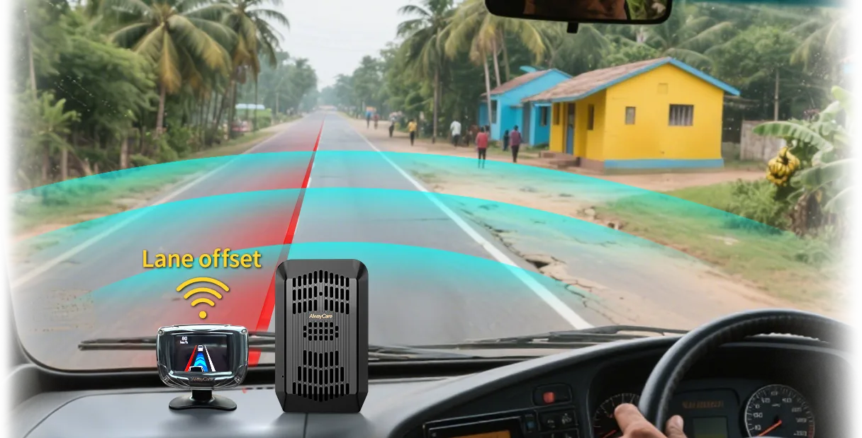
AlwayCare systems can combine positioning, wireless communication and video functions in selected products. For example, the AWS302 product record lists GPS/Beidou positioning and optional 4G or Wi-Fi alongside driving warnings.
Confirm the exact device, platform functions, region, network and data plan before rollout. A short vehicle trial is safer than assuming one setup fits every fleet.
Common questions
Is GPS tracking always live?
No. Update intervals and delays vary by device, plan, network and location.
Can GPS tracking prove what caused an incident?
Location and time can add context, but they may not explain the full event. Video, driver input and other records may be needed.
Should every employee see all tracking data?
No. Access should match the person's job and the fleet's privacy policy.
Key point to remember
Choose the control that matches the real risk, test it on the target vehicles and keep people responsible for the final decision.
Contact AlwayCare to discuss the vehicle, route and warning or visibility needs.
Information checked
This guide was checked against the U.S. Department of Energy's federal fleet telematics guide and current fleet-tracking search patterns. Local privacy, employment and transport rules may add requirements.